Tell someone you intend to walk across Death March portage in Quetico. It never fails to pique interest. Tell enough people you’re going to do it, and there’s no turning back. Breaking your own promises harms self-image and over time influences how much people believe what you say.
Okay, so that’s a little deep psychologically, and it’s certainly not the reason we talked up our trip in the months prior. Emilie and I just like a challenge. We look for canoe routes most others would rather avoid. There’s nothing like camping when you can confidently expect nobody else is around for miles and few people have tread before you.
I don’t know how many people cross Death March from May to October. But I do know it’s near the middle of Quetico Park. You need time to get there and back. We had only nine days.

Paddling down Brent Lake on our way to the portage, we ran into a friendly family from Manitoba – mom, dad and six kids. Judging by our conversation, they were experienced backcountry paddlers. They’d been at it for decades, had run rough white waters in Saskatchewan, had their share of bear encounters, and were plenty familiar with lugging heavy gear through deep woods. Death March wasn’t for them.
After 20 minutes of sharing experiences and recipes for bannock and dehydrated foods, we bid them a good day and paddled hard, anxious to preserve as much daylight as possible and avoid camping on the portage. It was close to noon.
I thought about my wife, perplexed over why we would plan our trip around an ominously named route. We promised her a satellite text after reaching the other side.
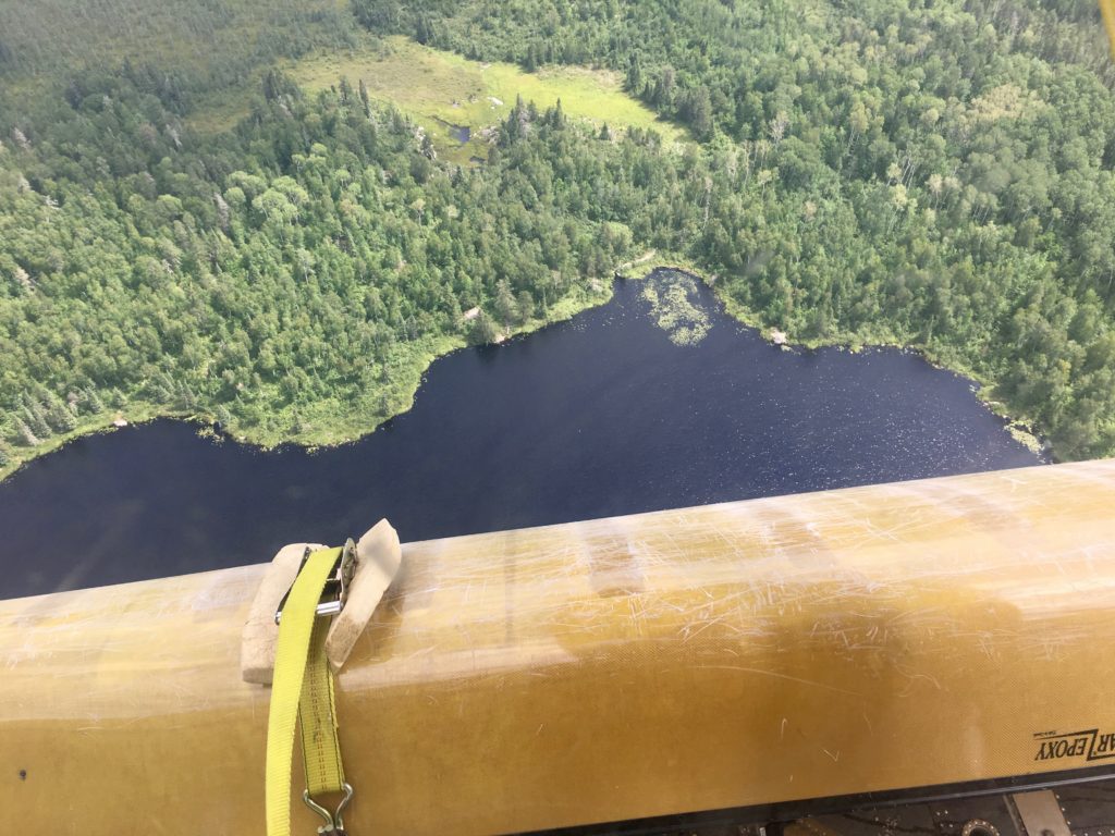
The mouth of Death March.
When Emilie and I arrived at the portage landing, it was all smiles and high fives. We hastily grabbed gear and walked the short first leg – 13 rods, about 215 feet – to a marsh, then reloaded our canoe.
Death March consists of two short walks, two long walks that cause you to question your route planning, and three marshes with beaver dams. If your map doesn’t indicate as much, it’s wrong.
Last year, after three hours of plodding through thick underbrush searching for the portage south out of Fern Lake, Emilie discovered it far from where our map indicated. Since then, we have stopped fully trusting our maps. Maps are vital; just recognize they’re not perfect.
Leg two.
The map indicated we’d be walking four-tenths of a mile. Time for bug spray, head netting, pants and long sleeve shirts. It also was reason enough to gobble down a couple of energy bars.
I went first, canoe overhead and food pack on my back. Emilie wore heavy packs on her chest and back, and carried other gear in her hands. We left nothing behind. From here it would be all single-trip crossings.
Tree branches and bushes crowding the trail rubbed against the outside of my canoe, a cacophony a scratching sounds amplified by the canoe walls that surrounded my head. It occurred to me that if Emilie called out, I wouldn’t hear her.
I reached the next marsh after only one-tenth of a mile, not four-tenths. This was a bit disconcerting. A guy once told me he lost the trail on Death March, and he would have turned back if a dad-daughter duo portaging in the opposite direction hadn’t been passing by.
Our map showed the portage dipping down toward water and veering back into the woods without a water crossing. We weren’t supposed to get back into the canoe so quickly.
I put down my pack and canoe for a closer look and called back to Emilie. No answer. The route location suddenly less important, I began retracing my steps and calling her name. No answer.
Being a dad, a few preposterous possibilities crossed my mind, including the notion that she’d encountered a crazy person living in the wilderness.
Maybe she simply stopped to stuff her face with blueberries again.
As it turned out, her packs had slipped off her shoulders, and she couldn’t get them back on because loading two packs requires assistance. Since there wasn’t anyone hiding in the woods, and willing to help, that task fell to me.
Minutes later, fairly convinced our map was wrong and believing we did in fact have to cross the marsh, we repacked our canoe and began paddling.
Halfway across, a beaver dam greeted us. “Was the map wrong again?” I wondered. Or was I wrong for thinking the map was wrong, and could two wrongs at an opportune time make a right? I doubted Emilie was overthinking it. In fact, I sometimes believe she wants to get lost just to experience the thrill of finding her way.
I hate getting lost. I also didn’t want to struggle to cross the dam only to have to turn around, cross it again, and restart our search for the trail.
Fortunately, we easily dragged our canoe over a grassy part of the dam and found the next leg a few minutes later.
Leg three.
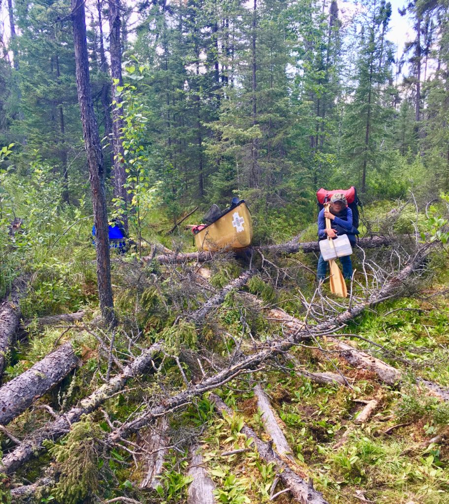
This is the longest leg. Not far in, underbrush completely obscured the way forward. I imagined how we might feel if we pushed through it and didn’t see the path continue.
We walked through two creeks, stepped in shin-deep muck, and slowly navigated corduroy. These are logs laid down in muck by park maintenance workers to provide a more solid – albeit often unstable – path through swamps.
We stopped to photograph a paw outlined in the mud. Our outfitter would later confirm from our photo that wolves walk Death March too.
Next, an area of blowdowns forced us to put down our gear. That’s when I looked down at my belt and didn’t see my GPS. Whispering a few choice words, I began backtracking.
There it was, beneath the green leaves of the downed birch that I had so proudly forced my way past only five minutes earlier. It occurred to me that GPS devices covers are orange for situations like this.
By the next marsh, we’d traveled 3.3 miles. An open area of flat rock greeted us. Glaciers laid bare this granite picnic table for us 12,000 years ago. We ate peanut butter and jelly sandwiches, guzzled water and gathered incentive for the last leg.
Leg four.
It began with a hill. We had officially reached Level Brutal.
Other paddlers have said Death March is just a long walk in the woods. I say it’s not Sauvage Portage on the south end of Fern Lake, where you’ll encounter at least four rocks around six feet tall as well as hills and swamps – after you’ve spent three hours needlessly bushwhacking for the trailhead. But still, it’s not easy.
I carried a heavy pack and canoe, with gear tied to the canoe. The canoe pads constantly slipped off the food pack straps pressing down on my shoulders, and I had to fight to keep the canoe straight. I also was dealing with a pinched nerve in my back. Toss in muck, creeks, boulders, and paths so narrow at times that we had to inch forward and backward to turn corners, and this portage earns its moniker.
We hit another swamp. The canoe slid off my shoulders, and again I appreciated the break.
Emilie really couldn’t take breaks. Surrounded by packs, she wasn’t able to sit down. Her only relief came from lying down on her side, something she did once. From that position, she was like a turtle on its back looking for a good Samaritan to lend a hand.

Legs tired – we made it.
Delahey Lake teased us from the bottom of a steep hill. The last leg had begun with an uphill climb. It seemed appropriate to end with a tricky downhill walk to the water.
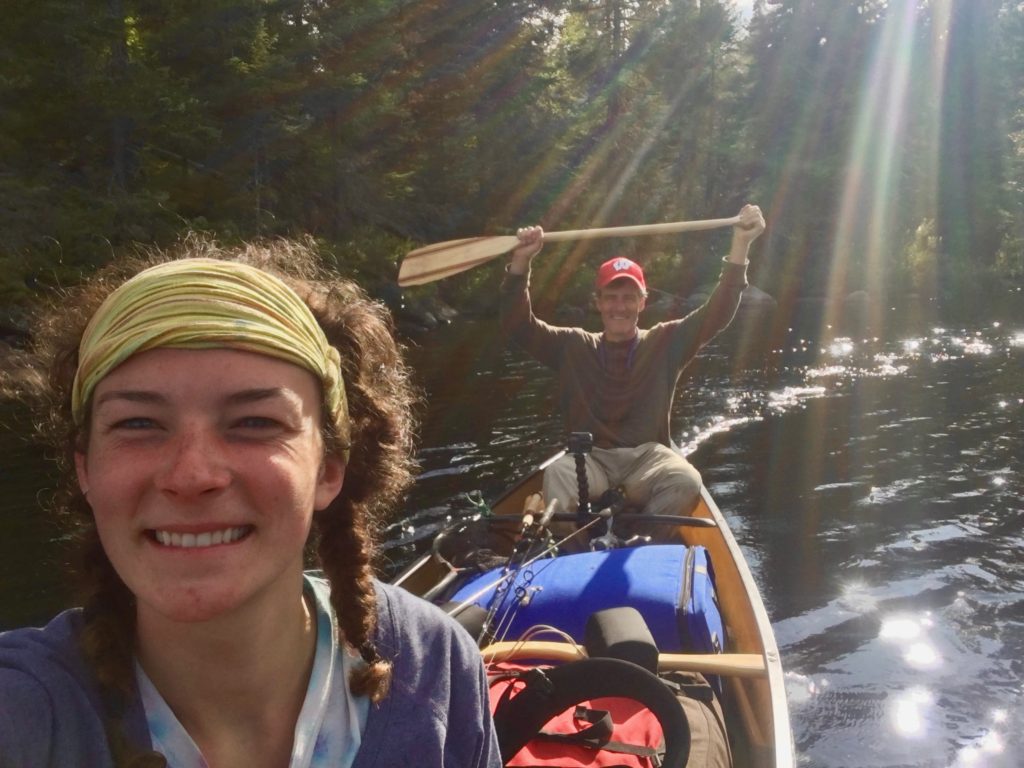
Arriving in one piece and ready to walk right into the lake fully clothed, we laughed, whooped, and hugged over what we had just accomplished.
Emilie plucked some dead mosquitos off her wrists and neck that managed to find skin only to drown in her sweat.
We needed nearly five hours to cross Death March, including a half-hour lunch. We hear people cross it in half that time. Our GPS recorded 4.4 miles. Given our minor backtracking, we called it 4.2 miles with three and half of it of woods and the rest marsh.
In hindsight, the last leg was invigorating. We had gotten into a zone, stopping fewer times than earlier in the route, mostly because it had become harder to restart.
We set our sights on finding a bottle of handwritten notes our outfitter told us about. The notes, he said, had been left over many years on an island in Delahey by paddlers wanting to describe their portage experiences.
Reasons to cross Death March.
For Emilie, this was about taking on mental and physical challenges. The immediate reward, jumping into the lake for a swim, feels indescribably soothing to her.
My reason for giving it a try was simple and sounds a bit like George Mallory’s famous rationale for exploration, except that rather than cross because it’s there, I did it because I figured nobody else would be there.
Solitude is the beauty of Quetico.